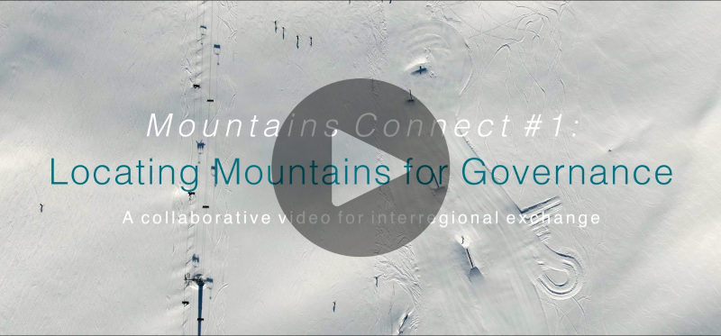
Since transboundary mountain ranges do not coincide with state borders, efforts to define the spatial extent of these areas are often the focus of considerable scientific and political attention. The Mountains Connect #1 video addresses key factors relating to the delineation of mountains and provide insights from around the world.
Mountain Range Governance (MRG) initiatives that involve the formal delimitation of a mountain range can help clarify issues such as legal applicability or funding eligibility. As a consequence scientists have invested considerable effort in defining mountain regions; examples include GEO Mountains for observing mountain environments or research undertaken by the Global Mountain Biodiversity Assessment Network. Even subnational administrative territories often include highland and lowland areas. As a result, planning, implementing and monitoring sustainable mountain development typically entails an ongoing dialogue.
Script & CAST
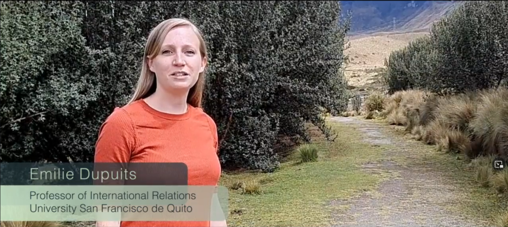
Emilie Dupuits, Professor for International Relations, University San Francisco de Quito
Did you know that some scientists estimate 27% of the world’s land surface to be covered by mountains? The boundaries of a territory can be defined according to political-administrative considerations, an ecosystem or a specific issue such as climate change adaptation.
Because mountains transcend state borders, ensuring their sustainable development is a challenge for national authorities. This is evident in the efforts diverse actors, including civil society organizations and scientific collectives, invest in delineating the spatial scope of regional mountain governance initiatives. An example: political-administrative boundaries can help make monitoring easier as they delimit the spatial units for which data is collected. The same goes with governance as the spatial scope of the decisions corresponds with the area over which authority is established. However, administrative boundaries are rarely drawn with the mountain ecosystems in mind, which are complex and need to be seen and understood as a whole.
Delimitation criteria for mountain territory
– Political-administrative boundaries
– Ecosystem boundaries
– Problem-oriented with specific issues, e.g. climate change adaptation
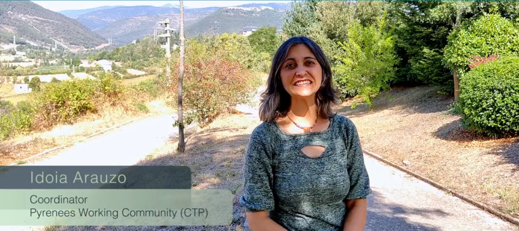
Idoia Arauzo, Coordinator, Pyrenees Working Community (CTP)
In the Pyrenees, the term territoriality is understood differently from village to village because it is a mosaic of territories. More than 600 km of borders in three countries – Spain, France and Andorra – are involved and further, a mountain range that goes from the Mediterranean Sea to the Atlantic Ocean and has mountain peaks that sometimes reach over 3000 m of altitude.
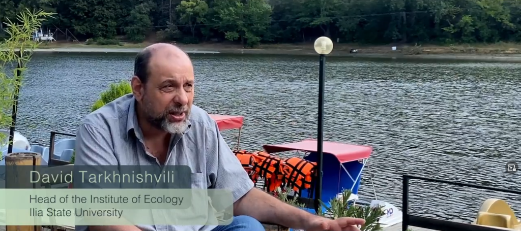
David Tarkhnishvili, Head of the Institute of Ecology, Ilia State University
We are working in a certain region, the region covers six countries. Some territories which are not formally ruled, which are non-recognized on the UN level and where regional cooperation is very limited and not multilateral and not just covering all aspects of life.
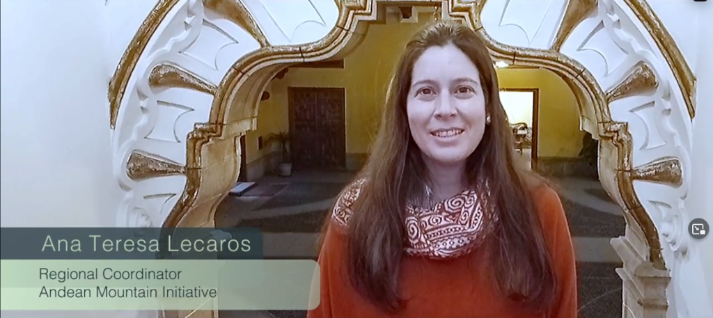
Ana Teresa Lecaros, Regional Coordinator, Andean Mountain Initiative
The Andes is a geographical space that unites us and that challenges and forces us to work together for the benefit and sustainable development of the mountains.
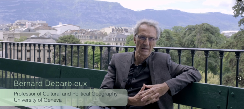
Bernard Debarbieux, Professor of Cultural and Political Geography, University of Geneva
Territory has a dual meaning in the social sciences. The first meaning considers territory in its judicial and political sense: territory as a space of sovereignty of a state, or a space where a supranational or subnational authority exercises specific competences. This is the political and legal meaning. The other meaning is rather social, anthropological, geographic. It refers to how a collective social actor establishes a particular type of relation with its environment, a relation that can be functional or symbolic. So where are mountains in there? There are states whose space of sovereignty is largely composed of mountains but it is extremely rare that a mountain range, at whichever scale, coincides with a state territory, so a mountain range is only ever a part of a state’s physical space of sovereignty.
Idoia Arauzo
We usually differentiate between three delimitations: an overall delimitation of the territory of the seven administrative bodies that go beyond the mountains; one perimeter of the territory that only includes the area covered by the European funding programme, which makes it a bit more restrictive; and lastly, an understanding of territory that focuses exclusively on the mountain area that is used when talking about natural systems and climate change.
Emilie Dupuits
Almost all regional mountain governance arrangements recognize some form of biogeographical boundaries. Biogeographical boundaries refer to a region with similar socio-ecological characteristics. Depending on the mountain range, actors may refer to different territorial approaches, such as ecoregion, bioregion or transboundary ecosystem, with distinct meanings. One overall challenge is, therefore, how to deal with the different territorialities in the same mountain range.
Idoia Arauzo
To give an example of how different spatial limits can be articulated: In the case of climate change impact analysis in the Pyrenees, we speak of bioregion as we are talking about hydrographic basins, forests, habitats of different species of flora and fauna and as we consider the specific territory that focuses on mountains. However, when it comes to the implementation of action plans and budgets to them, it is necessary to talk about the administrative territory, which is bound to the responsible authorities in the different issues.
David Tarkhnishvili
The most widespread definition of the Caucasus ecoregion is a combination of the old historical boundaries and the modern boundaries. The northern boundary of the region goes traditionally along the Kuma–Manych depression in Russia, whereas the southern boundary currently is normally considered as a border between two watersheds: the watershed of the Black and Caspian Sea on one side and the Persian Gulf on the other – the upper currents of Tigris and Euphrates.
Emilie Dupuits
There are different decisions authorities must take when locating mountains for governance. The first is whether to have a formal delimitation or not. If there is to be one, the decision then turns to the criteria for defining it: they can be based on administrative, ecosystemic or problem-oriented considerations. Authorities can choose to build a vision of the mountain range that is an alternative to administrative boundaries. One way to do so is to formally define the mountain range as an ecoregion and set the boundaries accordingly. Alternatively, the spatial scope of a mountain range can be defined on the basis of municipal boundaries as in the case of the Alpine Convention. National or subnational administrative boundaries usually play an important role, especially where governing arrangements are tied to funding instruments with formal eligibility criteria.
Idoia Arauzo
I will give you an example of a mechanism for integrating different spatial boundaries in mountain range governance: In the Pyrenees, there is a Pyrenean Strategy for 2018-2024 and during its participatory development process an ad hoc delimitation was defined that includes the regions and provinces closest to the border and all mountain territory.
Ana Teresa Lecaros
For the regional governance of the mountains as proposed by the mountains initiative, it is essential to count not only on the national government but also on the regional and subnational governments, along with the actors who have concrete responsibilities.
Emilie Dupuits
Delimiting the mountain range is one of the most important tasks for building regional governance. Decisions have to be made regarding the spatial scope of an initiative and coping with possible overlaps between ecoregional and jurisdictional units. One lesson learnt is that a fixed boundary establishes clarity but it also complicates things because there can never be a “perfect” boundary that encompasses a unified problem or solution space unambiguously. Drawing a line always involves trade-offs between openness and closure and that trade-off needs to be negotiated by the main parties concerned. Actors such as municipalities, civil society organizations, and scientific collectives need to work together to build the regional mountains’ territoriality.
Key lessons
- Fixed boundaries establish clarity
- There can never be a “perfect” boundary
- Boundaries involve trade-offs between openness and closure
- (Sub-)National actors such as municipalities, NGOs and scientists need to work together
ORGANIZATIONS APPEARING IN THE VIDEO
- Pyrenees Working Community (-> link)
- Institute of Ecology, Ilia State University (-> link)
- Iniciativa Andina de Montañas / Andean Mountain Initiative (-> link)
- Department of Geography and Environment, University of Geneva (-> link)